Project goals
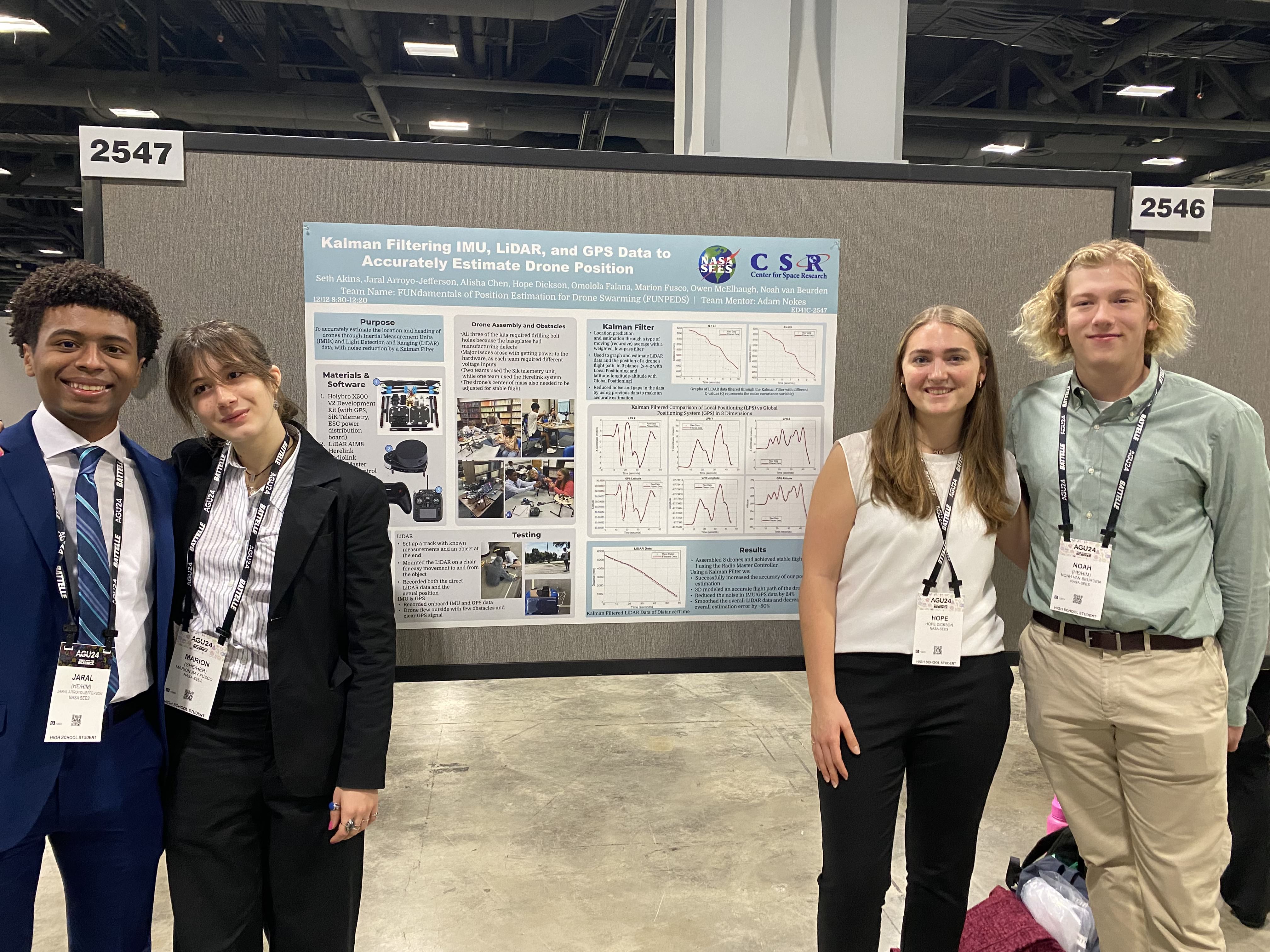
- Investigated precise drone localization by implementing sensor fusion algorithms combining onboard Inertial Measurement Unit (IMU) and LiDAR data.
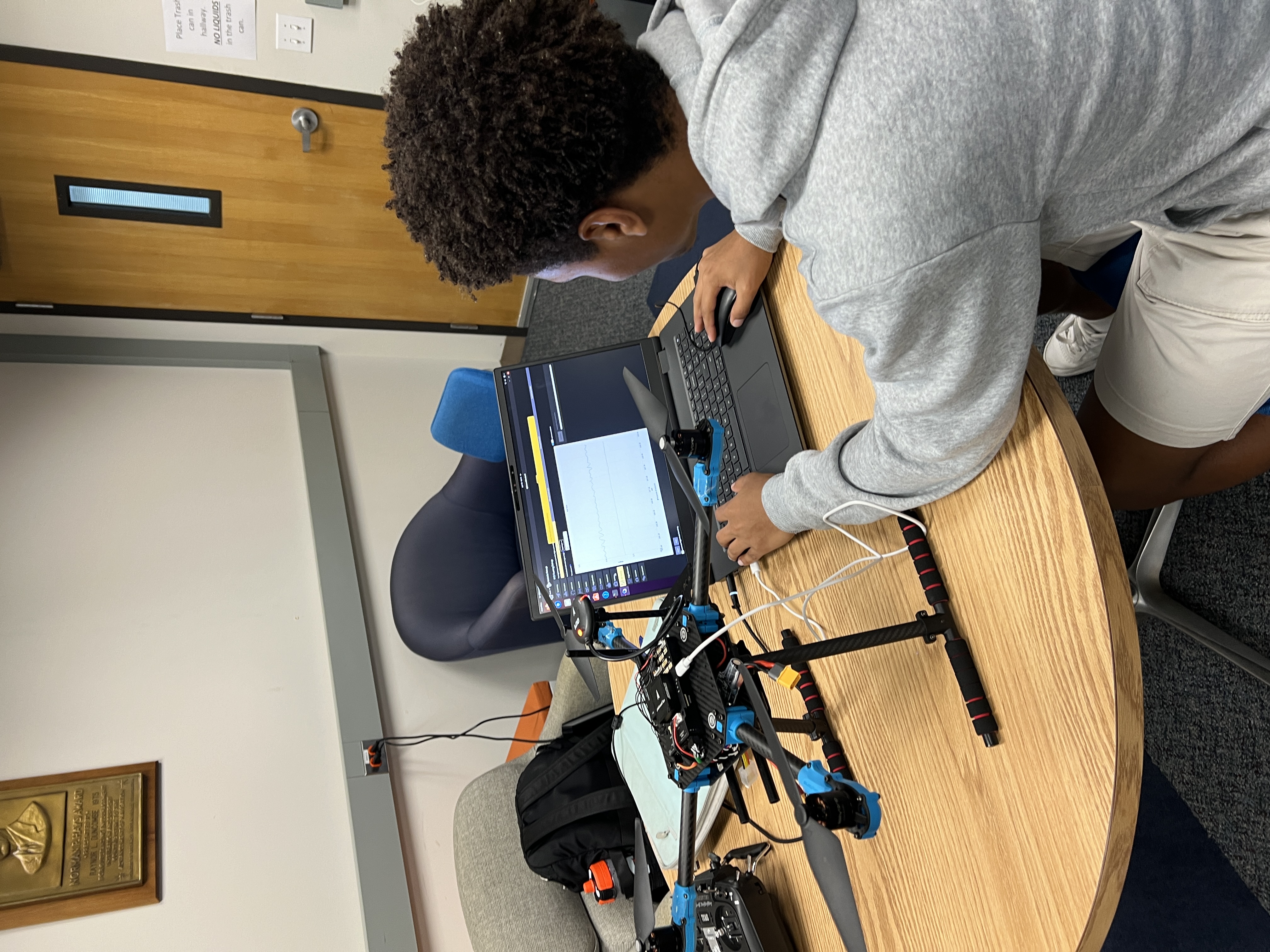
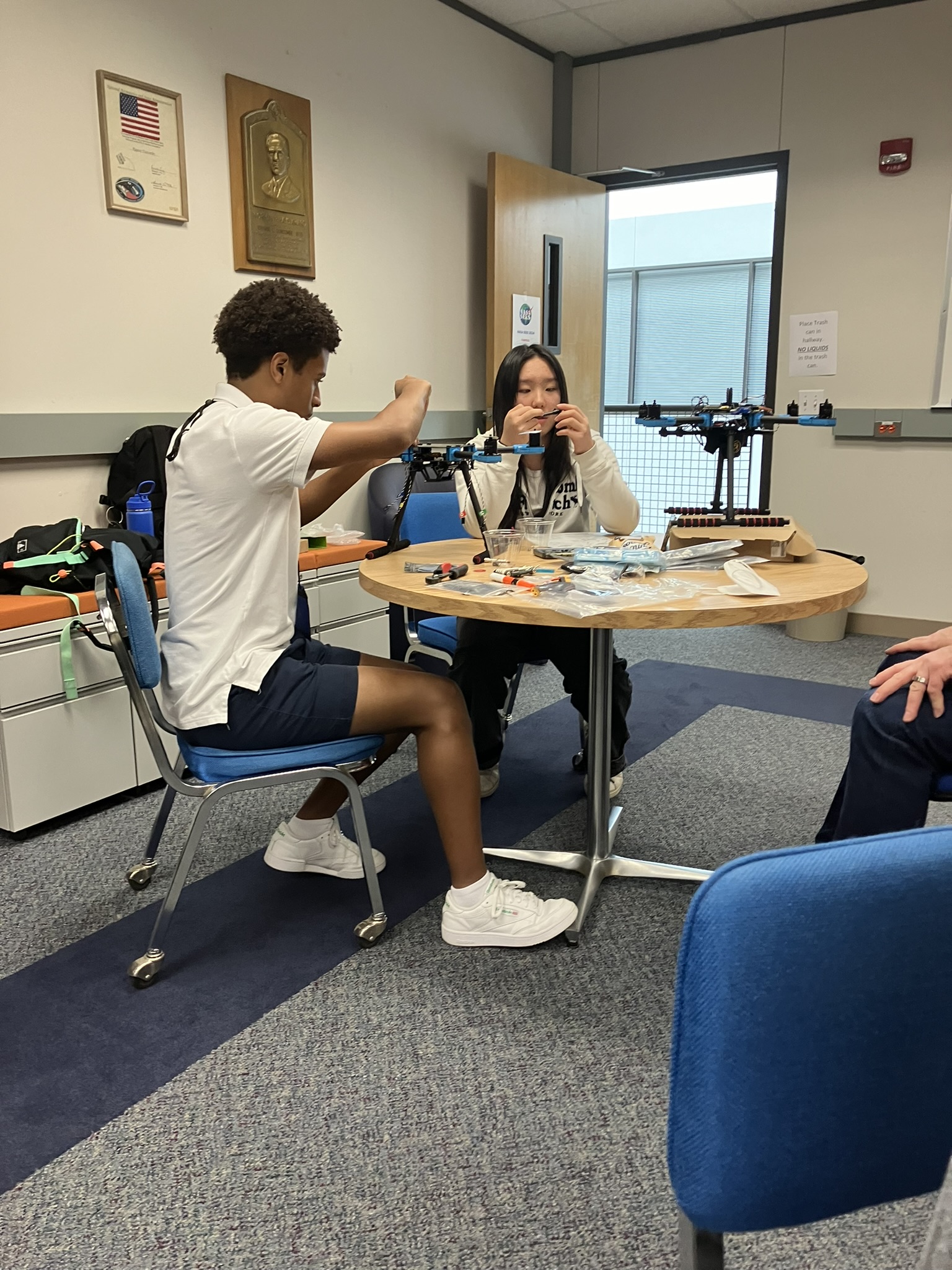
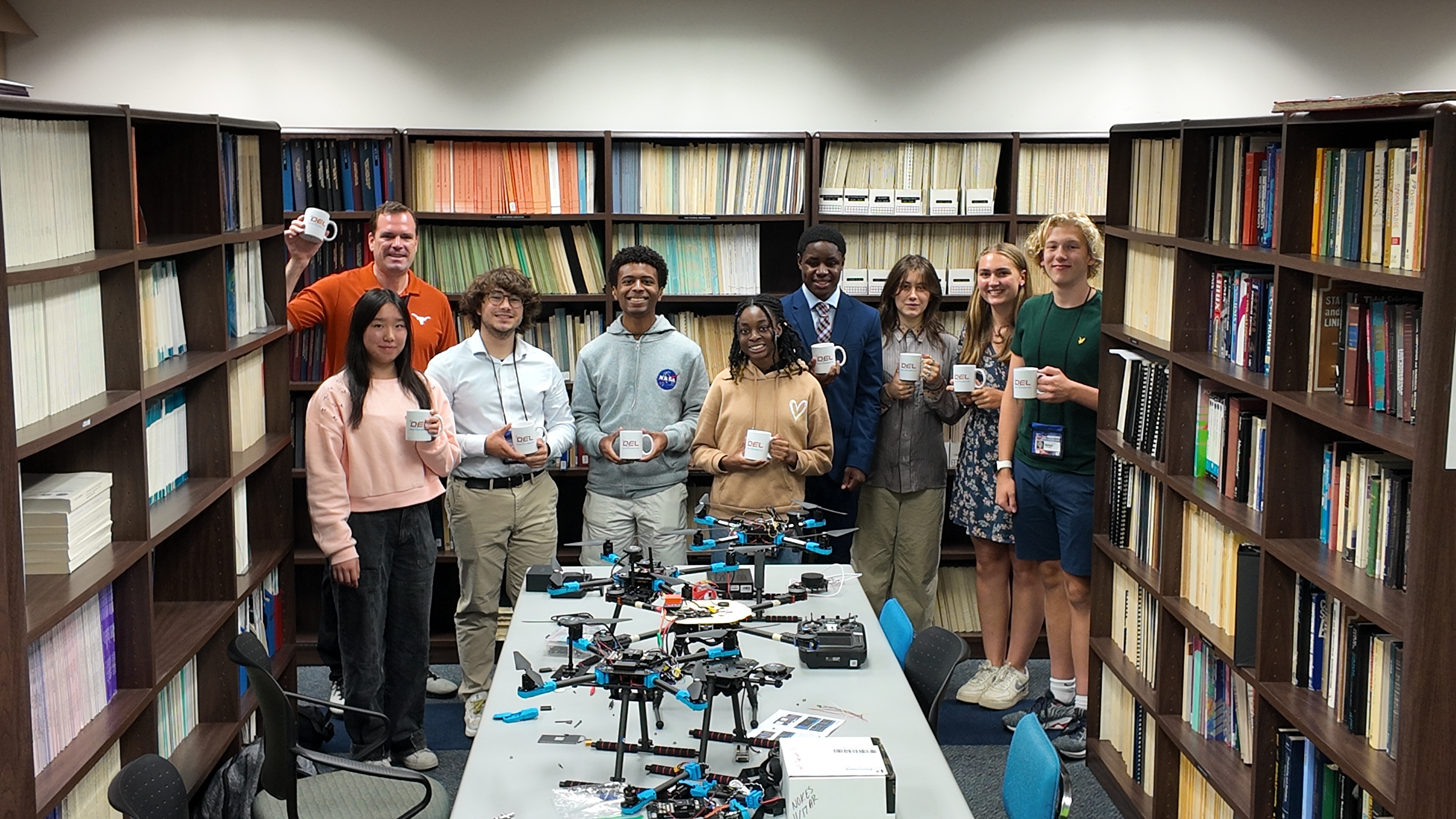
- Assembled the experimental quadcopter mechanical chassis, configured the open-source flight software stack, and served as the primary flight test pilot for empirical data collection.
- Programmed a data processing pipeline in Python using pyulog to extract binary flight logs, applying a Kalman Filter that successfully reduced localization sensor noise by 24%.
- Showcased project outcomes via a research presentation at the American Geophysical Union (AGU) 2024 Annual Meeting in Washington, D.C.